
A new version (5.3.11) has been released and is available here.
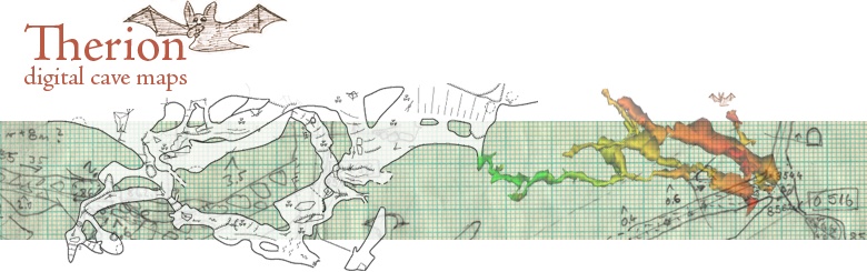
Therion solves the most annoying problem of cave cartography – how to keep a map of large and complicated cave system always up-to-date.
Main features include:
Complete maps with all the detail. No additional ink stroke is needed.
- Maps are dynamic, always up-to-date – i.e. they are automatically re-drawn after loop closure, blunder fix, scale or symbol set change
- 3D models are created using 2D maps
The latest version includes following additions/bug fixes:
Therion:
Added:
- survey option for map for setting survey associated with map.For example all surveying statistics from this survey will be used, when this map is selected for output.
- added sketch-colors <number-of-colors> option to thconfig file,to reduce size of sketch bitmap images in maps
- hide symbol from legend, if it has explicitly empty translation
- survey-level works for point station-name labels, if station name is automatically determined (no -text is specified)
- symbol-show|hide group text for point label, remark, date and line label
- grid-angle <value> <units> - can be used in centerline to specify magnetic grid angle (declination against grid north).
- -cs output specification works for export cave-list (including lat-long)
- dates are shown using OS locale settings in map export
- layout statistics explo/topo-length on/hide/off -- if it is off, team members are sorted alphabetically
- KML export format supported for cave-list and continuation-list
- PLT export in output coordinate system
- context point air-draught not working
- instrument position in centerline does not work
- debug scrap-names crashes if empty scraps
- counter not working in centerline data diving
- revise not working outside of survey context
- wrong length/depth and other statistics calculation for map output
- sketch bitmaps inserted multiple times in PDF files
Bugs fixed:
- new file in xtherion works, even if file is already open